In the context of a global water crisis that threatens more than 2 billion people, where coastal zones are particularly vulnerable to saline intrusion and aquifer degradation, the coastal fringe of the Gulf of Guayaquil faces an urgent and unavoidable challenge. Here, decades of overexploitation for shrimp farming and agriculture, combined with climate variability and rising sea levels, have disrupted the natural balance of coastal aquifers, jeopardizing water security, biodiversity, and local economies.
This project emerges as a strategic and transformative response: restoring the hydrological functionality of degraded aquifers through the closure and sealing of salinized wells, the implementation of green infrastructure to promote natural recharge, and the installation of an integrated physical-digital monitoring system to ensure traceability and permanence of benefits. In doing so, it not only recovers quality water for resilient aquaculture production but also reduces pressure on surface sources and improves the ecological health of wetlands and estuaries.
The scale of change is clear: every sealed well removes a pathway for saline intrusion, and every hectare restored adds infiltration capacity equivalent to the annual consumption of hundreds of households. The model is built under the principles of additionality, traceability, and intentionality defined by VWBA 2.0, ensuring that every cubic meter recovered is verifiable and counts as a net water benefit for the basin. This effort directly supports SDG 6 (Clean Water and Sanitation), SDG 13 (Climate Action), and SDG 14 (Life Below Water), positioning stakeholders as leaders in coastal water regeneration.
In a global aquaculture market that increasingly demands sustainability certifications and traceability to access the most competitive segments, this initiative offers both a strategic advantage and a powerful narrative: a production model that gives back more than it takes, protecting the very foundation of its existence.
Currently, the coastal fringe of the Gulf of Guayaquil is experiencing progressive aquifer degradation caused by decades of unregulated extraction, abandoned wells, uncontrolled leakages, and salinization due to marine intrusion. This phenomenon limits the availability of freshwater for both productive and community use, reduces resilience to droughts and extreme events, and fuels a vicious cycle of overexploitation and declining water quality.
The project seizes a unique technical and strategic opportunity: intervening on disused or active high-salinity wells to seal them, halting the advance of the saline wedge, while creating water recharge zones with adapted vegetation and engineered wetlands that filter and store rainwater and runoff. The system is complemented by sensors and monitoring stations that record piezometric levels, salinity, and recharge flows, generating a verifiable history for water benefit certification.
In the short term, the intervention will halt the advance of saline intrusion and stabilize water quality in critical areas. In the medium term, recharge capacity will increase, reducing dependence on external sources and strengthening the water security of aquaculture farms. In the long term, the methodology can be replicated in other coastal areas of Ecuador and Latin America, with results integrated into traceability platforms and ESG reporting.
Key actors include large-scale aquaculture operators, technology providers for sealing and monitoring, conservation organizations, water management authorities, and external verifiers applying VWBA/WQBA methodologies to certify impact. Export-oriented shrimp farming companies can align this initiative with their Water Positive commitments, improving access to international markets and strengthening their social license to operate.
This is not just a mitigation project; it is a paradigm shift, from extractive production to a regenerative model that integrates economy, ecology, and community into a single flow of value.
The project integrates multiple technical components that act synergistically to mitigate saltwater intrusion and restore the functionality of the coastal aquifer:
Detection of critical wells is performed initially via multispectral satellite analysis (Sentinel-2 and Landsat 8), complemented by drone-based LIDAR inspections and processing of vegetation indices (NDVI), surface moisture, and subsidence. This stage identifies abandoned wells, high-vertical-connectivity structures, and thermally anomalous zones indicating potential irregular activity.
Progressive technical well sealing is carried out using bentonite-cement mixtures and salt-resistant polymeric resins, depending on the lithological profile and depth of each well. Stage-wise sealing techniques are applied from bottom to surface to ensure hydraulic disconnection between strata and prevent saline migration. Each operation includes mechanical cleaning, geophysical profiling, and full documentation.
Creation of vegetated recharge strips is designed in marginal areas near canals or wet-dry transition zones. These strips incorporate halophytic species such as Avicennia germinans, Typha domingensis, and Sesuvium portulacastrum, which tolerate saline conditions and stabilize the soil. Infiltration ditches are built with gentle slopes, siliceous sand beds, and surface runoff control, simulating artificial wetlands capable of capturing and filtering rainwater and agricultural return flows.
Hydrochemical and piezometric monitoring is implemented with multiparameter sensors (EC, temperature, water table level, salinity) connected to IoT-based base stations. This network enables continuous readings, trend tracking in water quality improvement, and quantitative validation of benefits. The data is stored in interoperable platforms facilitating reporting to certifiers and water traceability entities.
All these actions align methodologically with the VWBA and WQBA frameworks, enabling robust accounting of induced recharge benefits (m³/year) and quality improvement (% reduction in EC and chlorides), with independent external audits and full digital traceability via Aqua Positive.
The project implementation is structured into five successive stages, each with specific technical objectives, applied technologies, and validated monitoring protocols.
Phase 1 – Remote Diagnosis (0–2 months): A comprehensive analysis using remote sensing technologies is conducted. Sentinel-2 satellite images and scheduled drone flights with multispectral sensors, thermal cameras, and LIDAR are used. Data are processed to identify subsidized zones, degraded vegetation, and unchanneled runoff paths. NDVI is calculated, SWIR reflectance is analyzed, and GIS layers on land use and well records are integrated. The result is a geohydrological risk map that establishes the spatial, hydrological, and climatic baseline.
Phase 2 – Field Validation (2–4 months): All previously detected wells are inspected, documenting their structural condition, vertical connection, and effective depth. Multiparameter sondes are used to measure in situ EC, water table level, temperature, and salinity. Water samples from at least three depths per well are collected for lab analysis of chlorides, bromides, nitrates, coliforms, SAR, and heavy metals. An integrated hydrochemical and structural risk index is created to prioritize interventions.
Phase 3 – Technical Design (3–5 months): Detailed technical profiles for each well are developed, including geophysical profiles and collected hydrogeological parameters. Suitable sealing mixtures are defined (bentonite-cement with antisaline additives or expanded resins), and potential water balances are modeled using historical rainfall (SENAMHI), return flows, and infiltration rates estimated via field permeameters. Recharge strips are designed with landscape-integrated features, halophytic vegetation, and structures like infiltration ditches, biofilters, and restored wetlands. KPIs include net infiltration rate (mm/day), retained water volume (m³), and expected EC reduction.
Phase 4 – Execution (6–10 months): Certified hydraulic well closures are performed. Wells undergo cleaning, continuous vertical profiling with geophones, and controlled staged injection of sealing material. Each closed well is documented with photos, coordinates, intervention depth, and materials used. Vegetated recharge strips are built with engineered hydraulic gradients; humidity and pressure sensors are installed in ditches and observation wells; and automated weather stations are deployed to record rainfall, temperature, and evaporation.
Phase 5 – Monitoring (10–24 months): An integrated IoT network includes multipoint piezometers, hydrochemical sensors, and dataloggers linked to a cloud platform. Continuous monitoring of key parameters (EC, chlorides, piezometric level, cumulative infiltrated flow, aquifer temperature) is conducted. Data are validated via bi-monthly laboratory sampling and compared against the baseline. Results undergo quarterly external audits and are reported under the Aqua Positive framework. This enables verification of VWBA benefits (effective induced recharge) and WQBA (quality improvement) with full traceability.
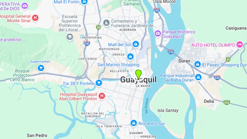
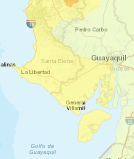
This project is a direct response to the hydrochemical and structural degradation affecting the southern coastal aquifer of the Daule-Peripa system in Guayas, Ecuador. The region, marked by intensive groundwater use for shrimp farming, advanced agriculture, and expanding urban consumption, faces sustained salinization driven by overexploitation and loss of coastal hydraulic gradient. Inactive, technically unsealed wells in critical interaction zones with brackish water bodies act as vertical conduits accelerating saline intrusion into freshwater aquifers, compromising agricultural water security and rural potable supply.
The project follows a comprehensive strategy under the VWBA and WQBA frameworks, structured into five operational phases that integrate advanced technologies, community participation, and scientific validation. From remote sensing and field inspections to the sealing of high-risk wells, construction of vegetated recharge infrastructure, and digital IoT-based monitoring, each step is designed to quantify and restore both volume and quality of the aquifer.
The initiative contributes to SDGs 2, 3, 6, 13, 15, and 17 by protecting agricultural and human access to sustainable water, reducing hydrochemical pollutants, enhancing climate resilience, restoring recharge ecosystems, and establishing multisectoral technical partnerships with verified traceability.
Ultimately, this project establishes a scalable, science-based model for coastal aquifer recovery in salinization-prone regions, ready to be integrated into voluntary water credit markets and regional adaptation strategies.